Yves Neumann · 16 September 2026
Decoding Tidal Shift Patterns in Shared Anchorage Networks for Small Vessel Operators
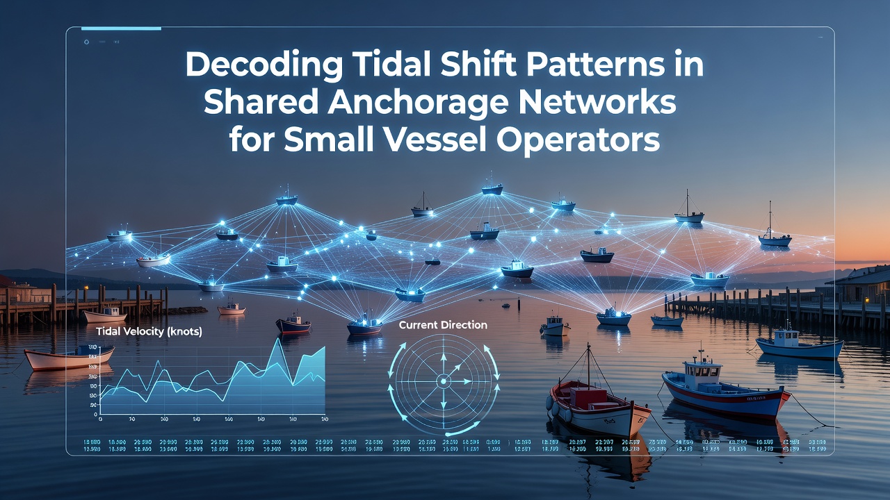
Shared anchorage networks function as designated zones where multiple small vessels secure positions using anchors and mooring lines while accounting for daily tidal movements that alter water depths and current directions. Operators in these areas rely on precise understanding of tidal shift patterns because even minor changes in water level can reposition hulls relative to neighboring craft and seabed contours. Data from coastal monitoring stations shows that tidal ranges vary significantly across regions with spring tides producing greater shifts than neap periods and these variations influence how vessels swing on their anchors during each cycle.
Understanding Core Tidal Mechanics in Anchorage Settings
Small vessel operators track tidal height predictions and current vectors because the combination determines available swinging room and potential for anchor drag when water levels drop. Research indicates that in many shared networks the interaction between flood and ebb streams creates predictable arcs of movement that vessels follow unless wind overrides the pattern. Observers note that accurate decoding requires cross-referencing predicted times of high and low water with local bathymetric charts so that minimum depths remain sufficient for keel clearance throughout the tidal cycle. Those who study these networks often discover that certain anchorages exhibit secondary effects where reflected waves from nearby shorelines amplify or dampen primary tidal flows.
Data Sources and Analytical Tools for Pattern Recognition
Government agencies publish real-time and forecast tidal information that operators integrate into routing decisions for shared zones. According to the National Oceanic and Atmospheric Administration, harmonic analysis of long-term gauge records produces reliable predictions for most U.S. coastal anchorages while similar services from the Australian Bureau of Meteorology supply equivalent coverage for southern hemisphere locations. Operators frequently combine these official datasets with onboard depth sounders and GPS track logs to identify deviations caused by local topography or seasonal freshwater inflows. Studies conducted by marine research institutions reveal that machine-learning models trained on historical tidal and wind data can flag periods when shared anchorages experience compressed swinging circles during rapid level changes.
September 2026 Tidal Events and Network Adjustments
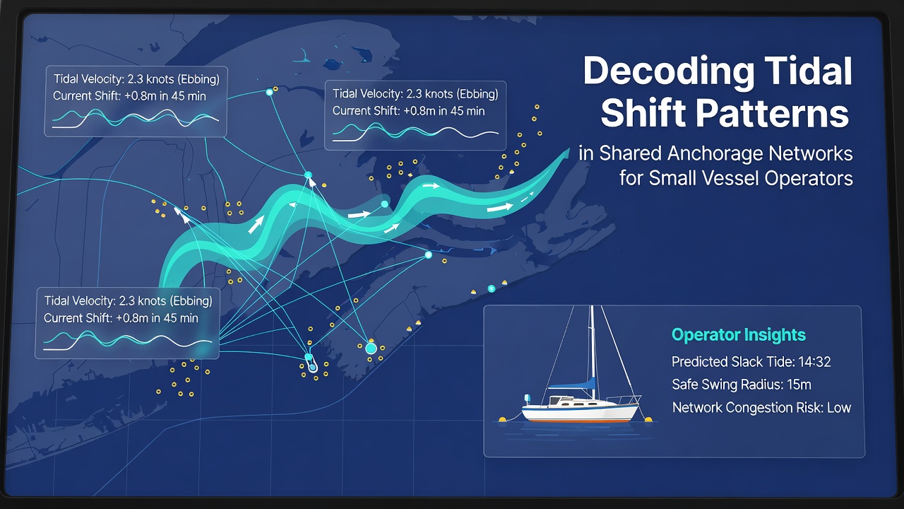
September 2026 features a series of perigean spring tides that coincide with equinoctial conditions across multiple ocean basins and these events extend the normal tidal range by up to twenty percent in several documented anchorages. Hydrographic offices have already released updated predictions that operators use to recalculate safe anchoring depths and swing radii ahead of the period. In regions where multiple small vessels share limited seabed space the increased range can shift vessel positions by several boat lengths between successive high waters requiring preemptive adjustments to scope and anchor placement. Canadian Hydrographic Service publications note that certain Pacific inlet networks show pronounced current reversals during these amplified tides and small craft benefit from monitoring real-time current meters installed at network boundaries.
Operational Strategies Derived from Pattern Analysis
Operators decode shift patterns by plotting expected vessel arcs on electronic charts and then verifying those arcs against observed positions at slack water. When patterns indicate convergence toward a central area during falling tides crews often shorten scope or deploy secondary anchors to maintain separation from adjacent vessels. Evidence from fleet tracking studies demonstrates that consistent logging of tidal offsets over multiple cycles allows crews to anticipate when wind against tide conditions will produce the largest excursions. In European waters the European Maritime Safety Agency compiles regional current atlases that small vessel operators consult when planning extended stays in busy shared networks. Those who apply these layered data sources report fewer incidents of anchor fouling because they position vessels according to the dominant tidal vector rather than assuming static layouts.
Integration of Real-Time Observations with Forecast Models
While forecast models supply the baseline many operators supplement them with visual checks of neighboring vessel movements and surface current indicators such as drifting debris or ripple patterns. Research indicates that discrepancies between predicted and observed shifts often trace to localized wind setup or recent dredging that alters flow resistance within the network. Small vessel operators who maintain simple spreadsheets linking time-stamped depth readings with official tidal predictions can refine personal correction factors for specific anchorages and these factors prove useful when September 2026 perigean tides arrive and standard ranges no longer apply. Transport Canada guidelines encourage such record-keeping in designated shared zones because aggregated observations from multiple vessels improve collective situational awareness.
Conclusion
Decoding tidal shift patterns within shared anchorage networks rests on systematic comparison of official predictions, local observations, and vessel-specific performance data. September 2026 perigean spring tides will test existing practices across many regions yet operators equipped with updated harmonic tables and real-time current information maintain positional control. Continued refinement of these analytical approaches supports safer and more efficient use of limited anchorage space for the growing population of small vessels.