Iris Perry · 30 September 2026
Charting Sensor Integration for Dynamic Berthing Allocation in Coastal Leisure Zones
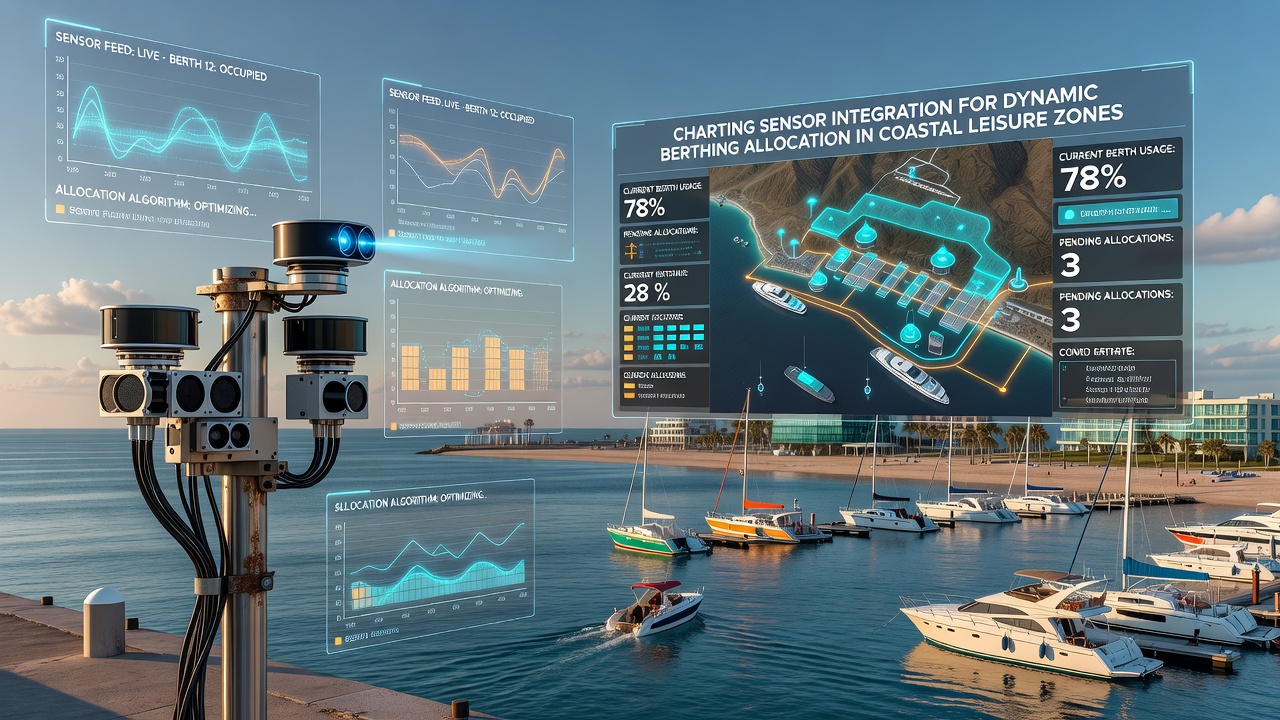
Coastal leisure zones face increasing pressure on berthing space as vessel traffic rises each season, and operators have turned to integrated sensor systems that track availability, environmental conditions, and vessel movements in continuous cycles. These networks combine acoustic sensors, GPS receivers, radar units, and environmental probes that feed data into centralized allocation platforms, allowing marinas to reassign berths dynamically rather than relying on fixed schedules. Data streams from multiple sensor types merge through standardized protocols that convert raw readings into actionable berth assignments while accounting for vessel dimensions, draft requirements, and tide levels.Sensor Technologies Driving Allocation Systems
Modern installations rely on arrays of ultrasonic depth sensors mounted on pontoons and fixed structures that measure water levels at sub-centimeter accuracy, while differential GPS units on vessels and fixed reference points provide positional data accurate to within one meter. Radar units scan approach channels for incoming traffic, and anemometers plus current meters supply wind and flow information that influences safe maneuvering zones. Observers note that when these inputs combine through edge computing nodes located at each pier, processing latency drops below two seconds, enabling near-instant updates to digital berth maps.
Researchers have documented cases where multi-sensor fusion reduced average wait times for transient vessels by 35 percent during peak summer periods. The systems cross-reference vessel AIS signals with berth dimensions stored in a shared database, then generate allocation recommendations that factor in battery charging availability, freshwater hookups, and waste pump-out schedules. Integration occurs through open APIs that allow third-party navigation apps to display live availability, though security layers restrict access to authorized operators only.
Data Integration and Processing Frameworks
Central servers aggregate sensor outputs using time-synchronized protocols that align measurements from disparate devices operating on different sampling rates. Machine-learning models trained on historical occupancy patterns predict demand spikes during holidays or weather events, and these forecasts adjust allocation algorithms before congestion forms. Studies conducted along Mediterranean coastlines showed that predictive models improved berth utilization rates from 62 percent to 81 percent over a single season when operators incorporated tidal and wind forecasts into the decision loop.
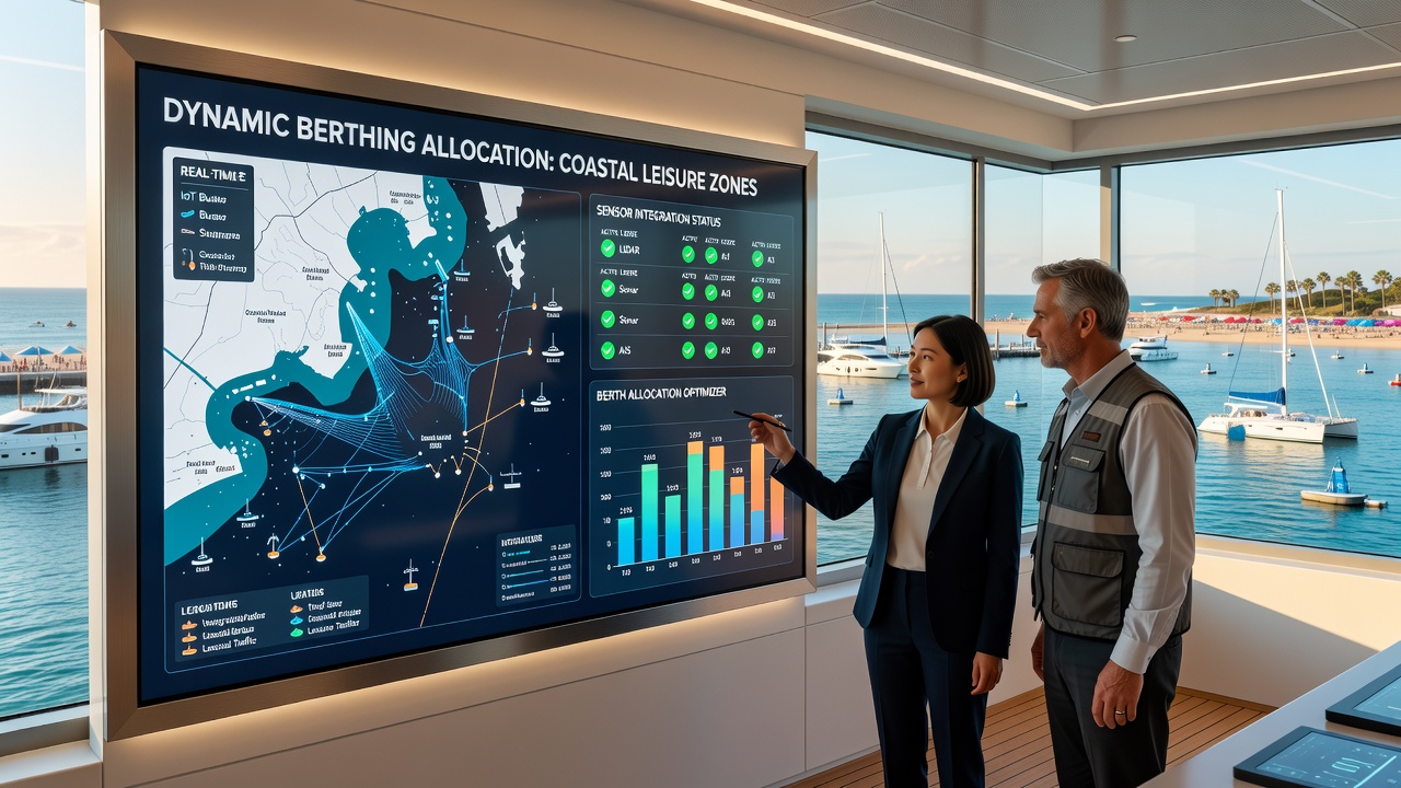
Hardware gateways installed at each marina collect readings via LoRaWAN and 5G connections, then forward cleaned datasets to cloud platforms for long-term storage and trend analysis. Engineers configure these gateways to prioritize safety-critical data such as depth anomalies or collision alerts, while routine occupancy figures transmit at lower priority. European ports participating in pilot programs reported that this tiered transmission approach cut bandwidth costs by 40 percent without compromising response times for urgent reallocations.
Regulatory Developments and Scheduled Milestones
Maritime authorities in multiple regions have begun drafting standards that require sensor-equipped allocation systems for marinas exceeding 150 berths. According to guidance published by the European Maritime Safety Agency, compliance frameworks emphasize data interoperability and cybersecurity measures that prevent unauthorized access to vessel tracking records. Parallel efforts in North America focus on environmental monitoring layers that link sensor networks to water quality reporting, ensuring berthing decisions also respect protected habitat zones.
Implementation timelines indicate that several national programs will expand testing phases through 2025, with broader rollout expected by September 2026. During that period, operators plan to validate sensor redundancy protocols across varied weather conditions, including storm surges and prolonged fog events that challenge optical and acoustic readings alike. Data collected during these trials will feed into updated allocation algorithms that further refine safety margins for vessels of different classes.
Operational Examples and Measured Outcomes
One installation along the Pacific coast integrated 120 sensor nodes across a 400-berth facility and achieved full dynamic allocation within six months of commissioning. The platform reassigned berths an average of 18 times per day during high-traffic weekends, using real-time depth and current data to match incoming vessels with suitable spaces while maintaining minimum clearance distances. Similar deployments in Australian coastal leisure harbors demonstrated that integrated systems reduced the number of manual interventions by harbor staff from 45 per week to fewer than 10, freeing personnel for maintenance and emergency response duties.
Long-term datasets now reveal seasonal patterns that inform infrastructure planning, such as the correlation between prolonged easterly winds and increased demand for sheltered inner berths. Port authorities use these insights to schedule dredging operations and floating breakwater maintenance during predicted low-occupancy windows, minimizing disruption to leisure users.
Conclusion
Sensor integration for dynamic berthing allocation continues to evolve through incremental hardware upgrades and software refinements that build on existing maritime data standards. Coastal leisure zone operators track performance metrics from deployed systems to identify further efficiency gains, while regulatory bodies refine requirements ahead of the 2026 expansion milestones. Continued collaboration between equipment manufacturers, research institutions, and port authorities supports steady progress toward fully automated allocation processes that maintain safety and environmental compliance across diverse geographic settings.